


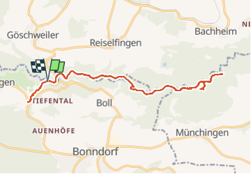

15,7 km | 19,9 km-effort


Utilisateur


Application GPS de randonnée GRATUITE
 SityTrail
IGN / Instituts géographiques
SityTrail World
Le monde est à vous
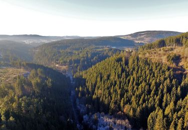
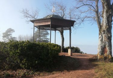
Randonnée Marche de 21 km à découvrir à Bade-Wurtemberg, Landkreis Waldshut, Bonndorf im Schwarzwald. Cette randonnée est proposée par Méluuu29.

A pied
A pied
Marche

Marche